The 2nd attempt to fly the Mölltal triangle. Would I succeed this time?
Prologue: After spending a day in Kössen, I went to Greifenburg, the paragliding Mekka in Carinthia, for two days. The day before I flew from the Emberger Alm to Lienz, but then turned round again. Dimi, who had flown ahead and whose flight track I followed on XC Track, also turned back without trying the Mölltal. So I wasn’t quite sure whether something was wrong with the weather conditions, especially as I couldn’t recognise any other pilots in Mölltal on XC Track. But now the attempt to fly the Mölltal triangle was about to start.
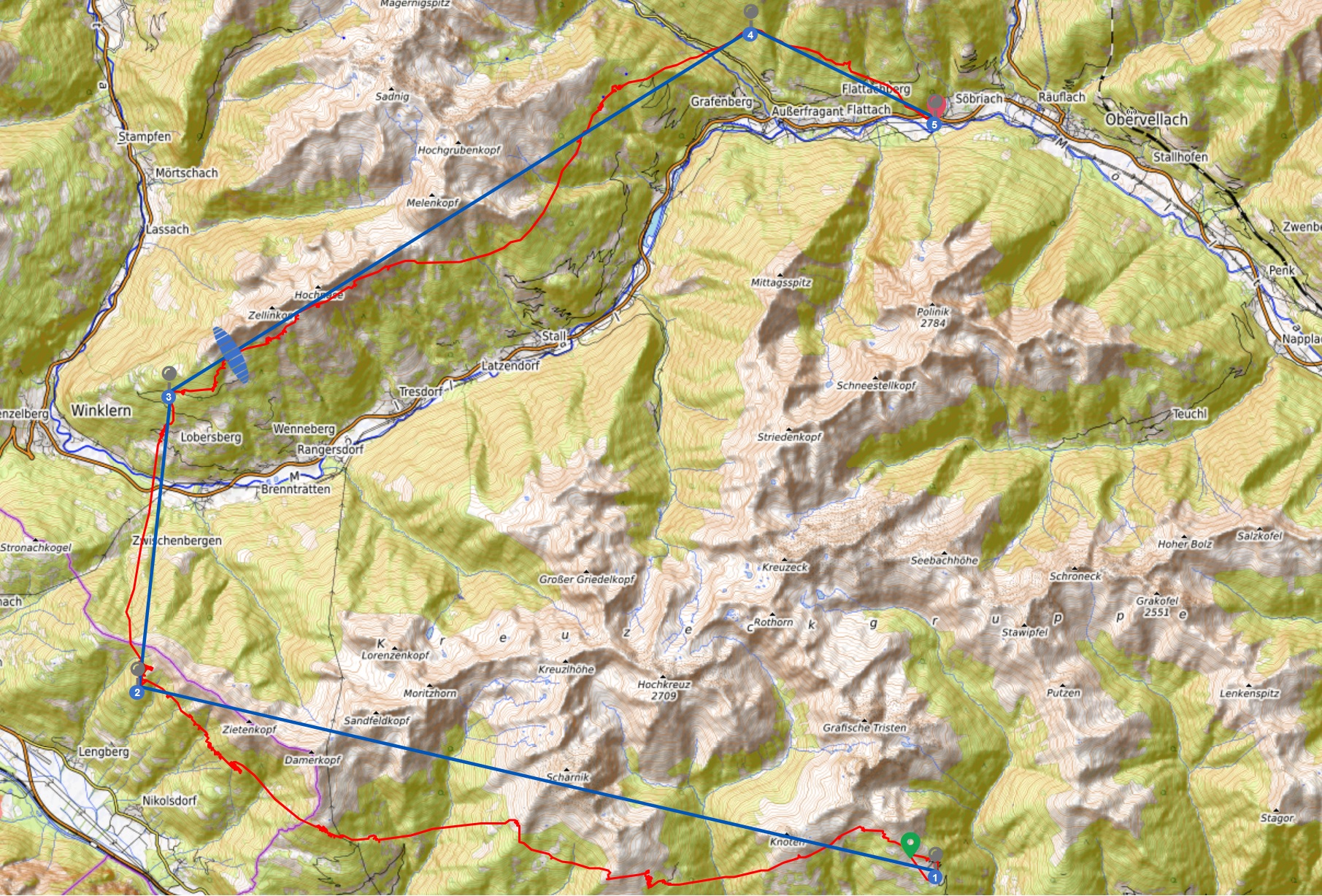
Planning: I had already done the flight planning in advance, which you can find here.
Weather: The thermal start was predicted from about 12:00 and the thermal end until 18:00, so plenty of time to finish the triangle. The cloud bases were forecast at 3600 metres in the late afternoon and a weak southerly wind. All in all, ideal conditions for a successful flight.
Before the start: As usual, we travelled by coach to the Emberger Alm. From the Thermik Treff, we continued on foot to the upper launch site. At the launch site I got to know the local hero Timon Weber, who was probably in charge of an XC flying group.
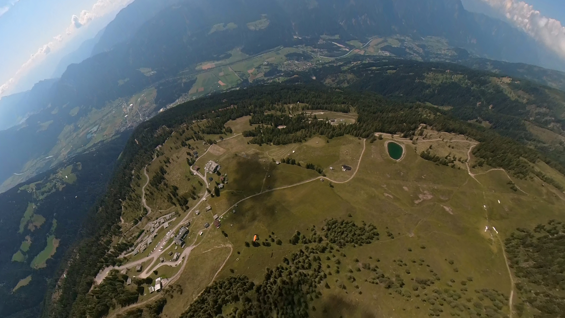
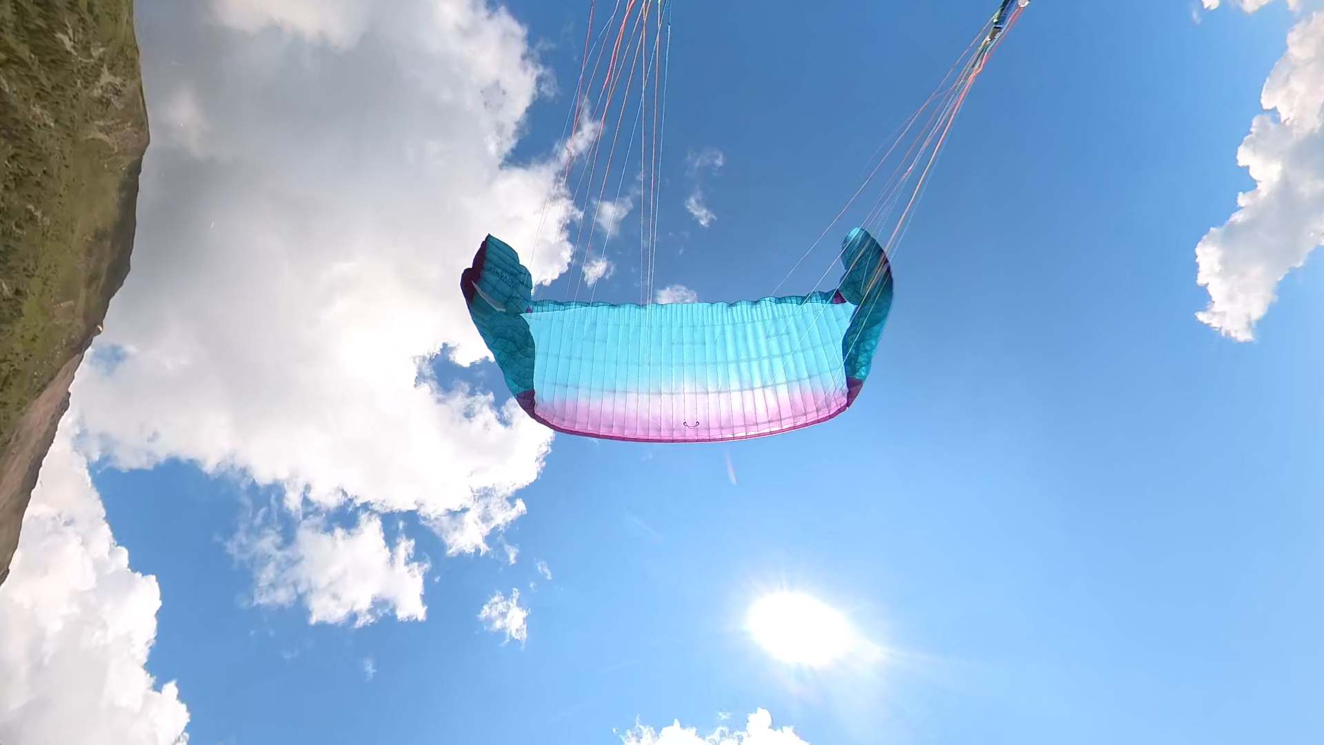
11:47: After take-off, we quickly headed upwards, so I set off in a westerly direction. You can see the Emberger Alm in the photo, with the Fliegercamp at the top left.
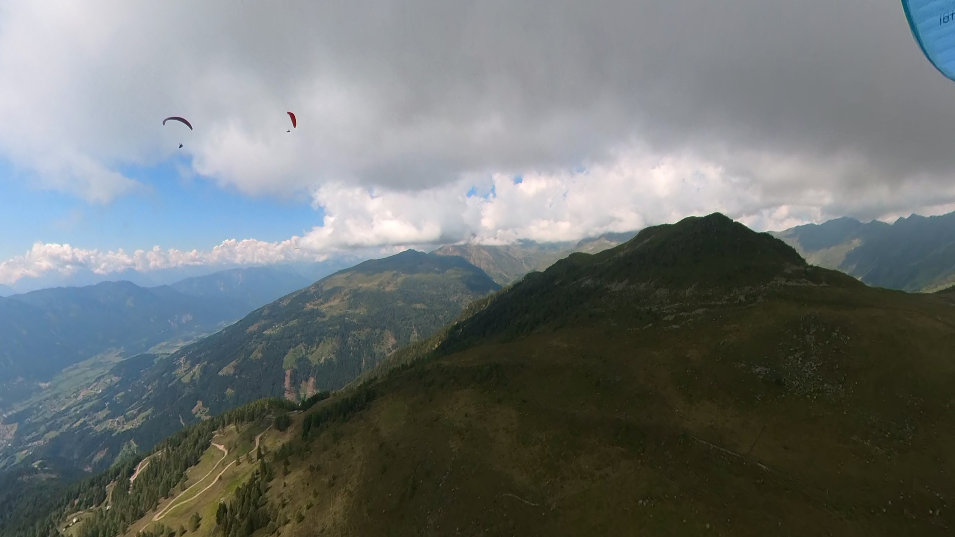
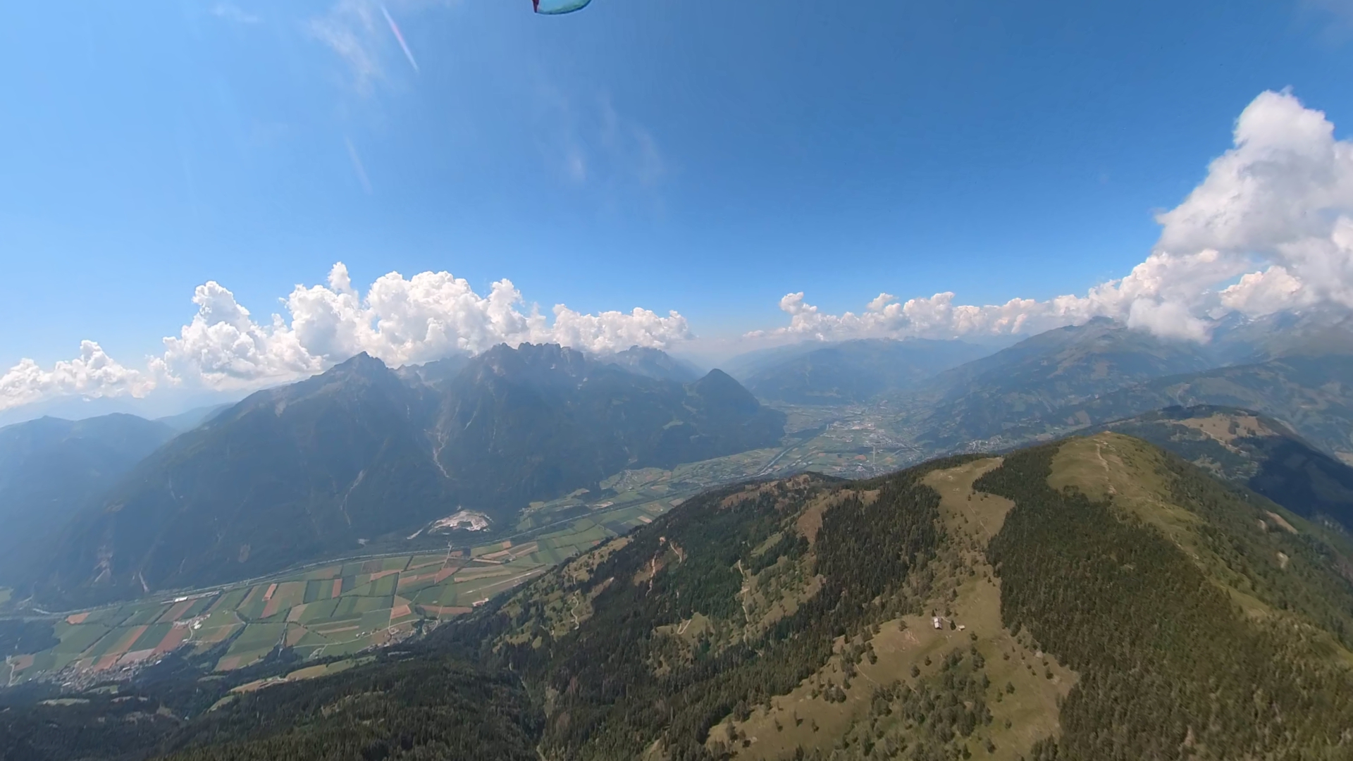
11:55: As you can see in the photo, some pilots set off with me towards the west. The base was not yet too high, but still well above the ridge. The predicted weak southerly wind turned out to be a strong southerly wind.
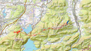
12:22: Having arrived over the pilot’s grill, which is the name of the high-voltage overhead power line that runs in a north-south direction, I was unfortunately unable to gain any significant height. It is advisable to fly well above the ridge, as the area behind the Carinthian arsehole is a leeward area due to the strong valley wind.
12:35: Due to a lack of height on the pilot’s grill, I had to deal with turbulence. As you can see in the photo, I suffered a big collapse with a counter-collapse.
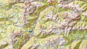
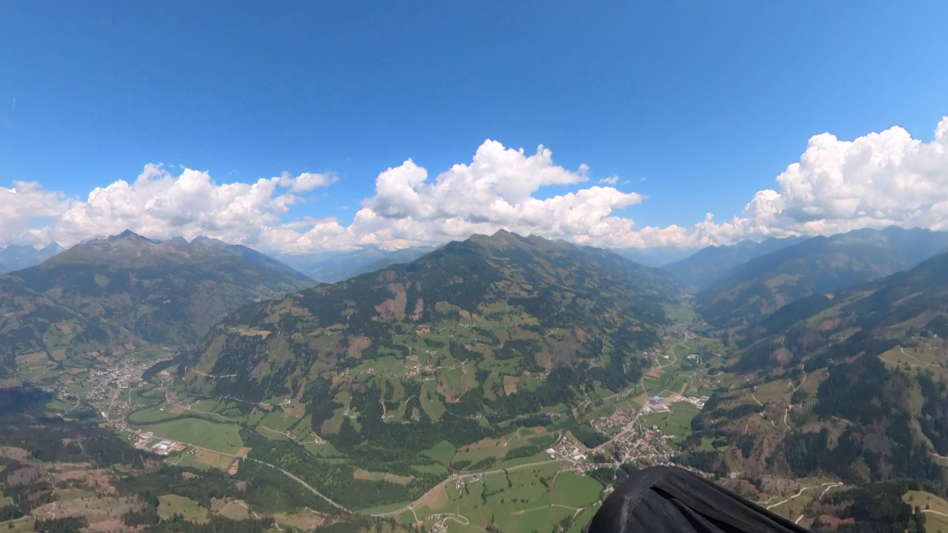
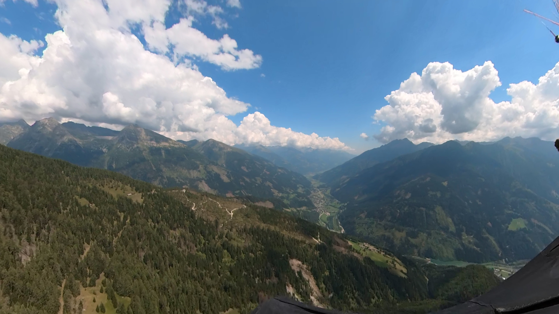
12:52: With difficulty, without gaining much height, I flew on towards Lienz. With low altitude over the ridge, I headed north into the Mölltal valley.
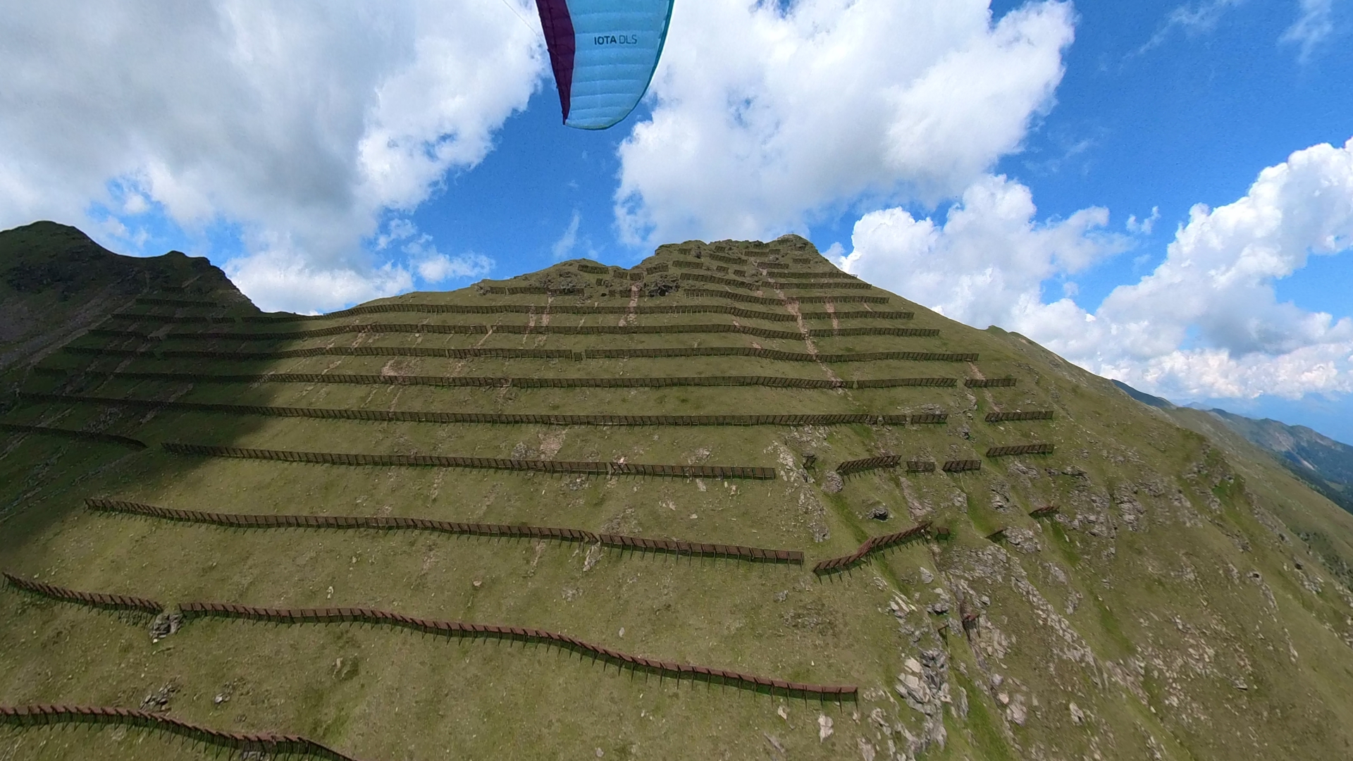
12:56: With the Leitenkopf in front of me and the hope that I would be able to catch up, I crossed the Mölltal. Another Iota DLS did it right and started crossing the valley much higher than me.
13:19: Below the Martischnigspitze we continued in a north-easterly direction. Unfortunately, we were never able to gain the height that would have been necessary for a successful flight.
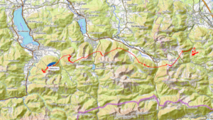
13:38: Somehow I didn’t trust the cloud pattern, I wasn’t quite sure whether there might be an overdevelopment after all. Combined with the strong southerly wind, I left a strong leeward thermal and flew on, hoping to find some thermals on the south-west slopes of the Mölltal after all.
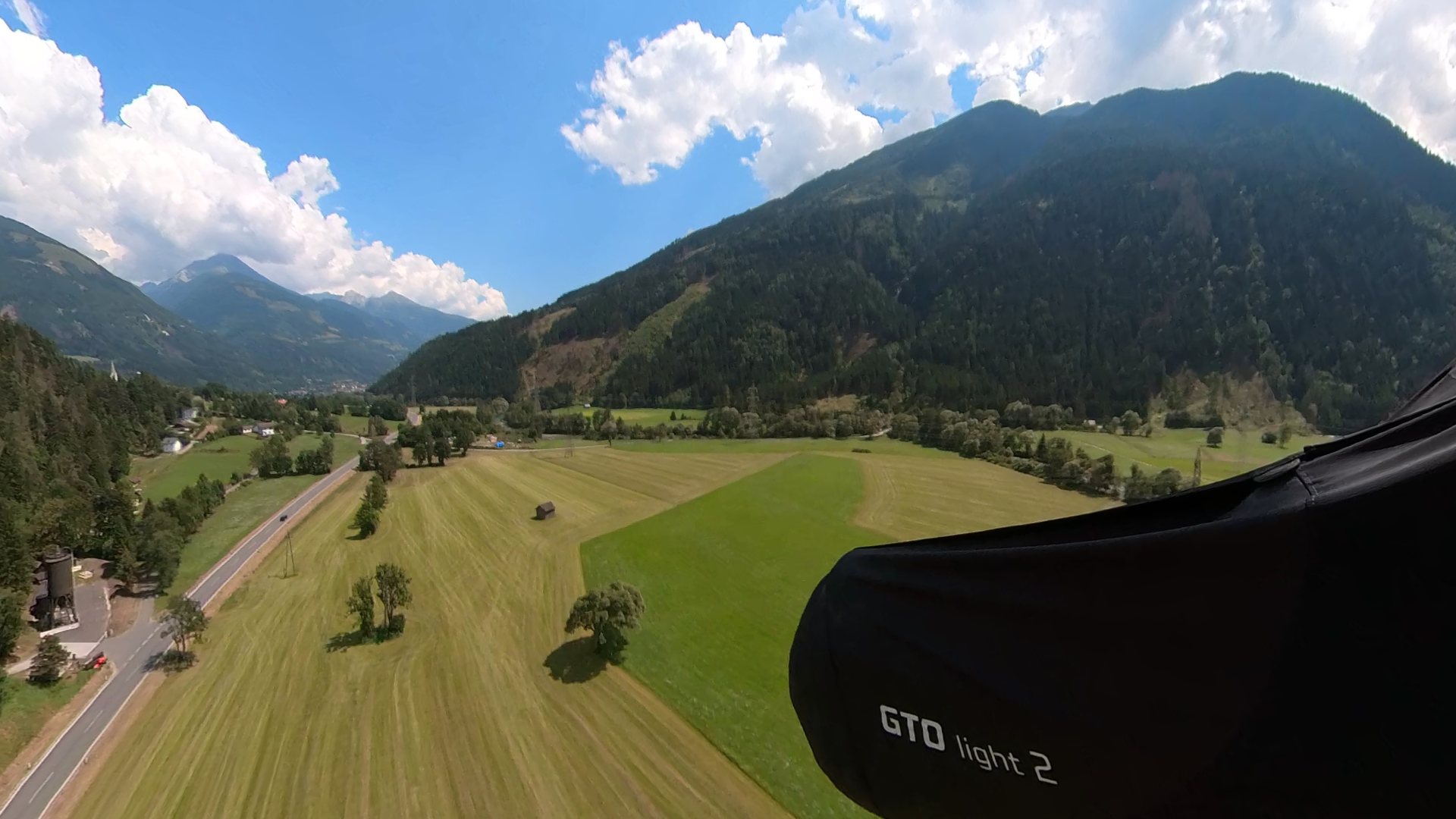
14:00: This turned out to be a fallacy, as we slowly made our way towards the ground in sometimes violent turbulence caused by the strong valley wind. It would clearly have made more sense to use the leeward thermal to escape the strong valley wind.
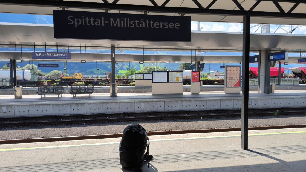
Journey home: A friendly Austrian gave me a lift to Spittal station, from where I was able to take the S-Bahn back to Greifenburg.
Flight details: Can be found here.