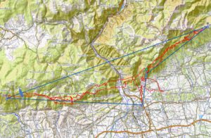
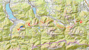
The Brauneck – I have a kind of love-hate relationship with this mountain. On the one hand, the wind often can’t decide which direction it wants to blow from, which then results in a change of position, e.g. from north to south or vice versa. On the other hand, I don’t particularly like it as a hike and fly mountain either, as you always have to master steep passages on the ascent. This can be very exhausting. Nevertheless, I occasionally climb the Brauneck, as it also offers certain advantages, such as three take-off directions (north, south and east) and the…
Introduction
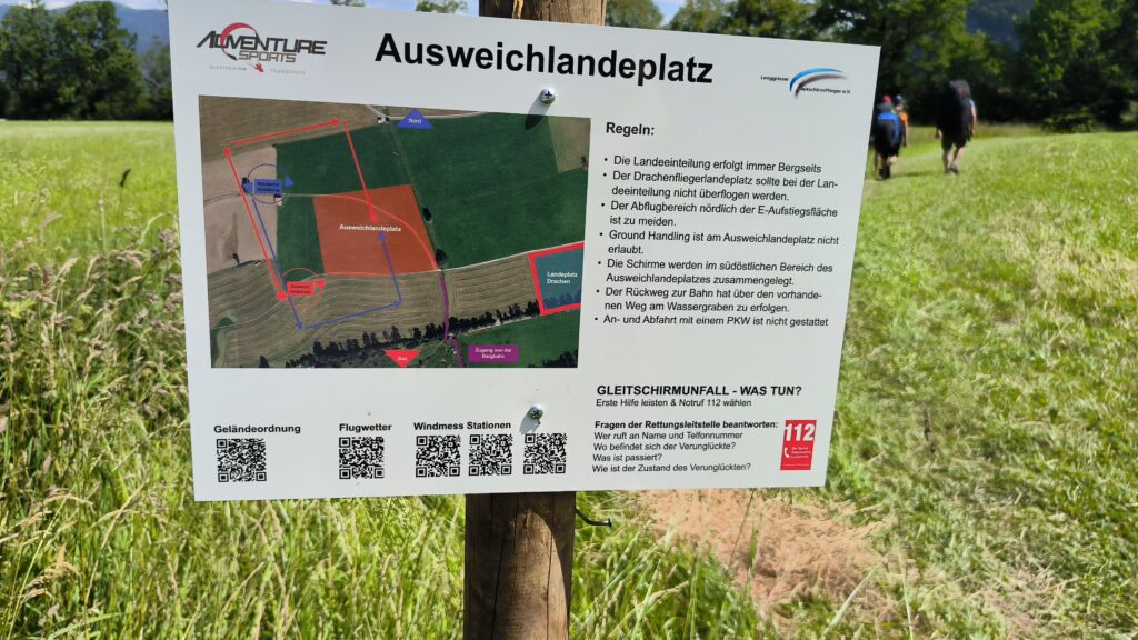
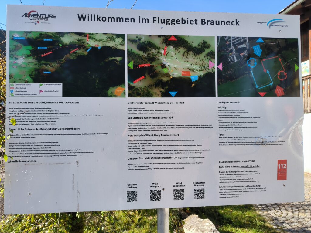
At the valley station there is a very detailed, almost exemplary board with information about the flying area. The flying area is run by the Lenggries paragliding club, and information about the flying area can also be found on the club’s homepage. The flying area is basically suitable for beginners, but has its pitfalls, firstly because the mountain is heavily forested to the south and north and secondly because of the strong Bavarian wind, which makes launching at the northern launch site difficult or impossible in the afternoon. On the other hand, Brauneck is well protected by the Karwendel mountains in foehn winds, but of course caution is advised here.
Approach
The Brauneck is very easy to reach by public transport and also by car, which is why it is generally regarded as Munich’s local mountain, even if the people of Lenggries don’t like to hear it. I took the regional train 56 from Munich main station to Lenggries station. From the station, I continued on foot, but you could also take the 364 bus to the Brauneck valley station.
Ascent
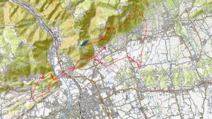
Unfortunately, the Brauneck is rather unpleasant to climb for me, as there are always steep passages to negotiate on the way up. I have outlined three possible routes to the summit, of which many more are available, as the mountain is very well developed for tourism and commerce. One possible route is from the valley station along the Streidl slope to the Garland reservoir (Map 1). Up to this point, the paths are wide and easy to walk on. Parts of the trail run along ski slopes, so skiers are to be expected in winter. The pistes are groomed, so you can expect a thick layer of compacted snow in winter, even if there is little snow in the surrounding area. Snowshoes are therefore recommended if there is a lot of snow in the area, or snowchain if there is little snow, due to the prepared pistes.
From west of the reservoir, the farm track changes to a footpath that winds its way up to the mountain station. In winter, the hairpin bend is covered in snow and is no longer used. So, for better or worse, you have to walk up a steep ski slope.
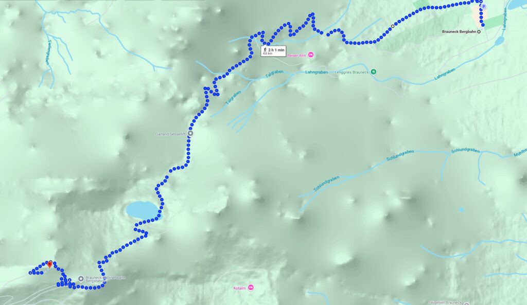
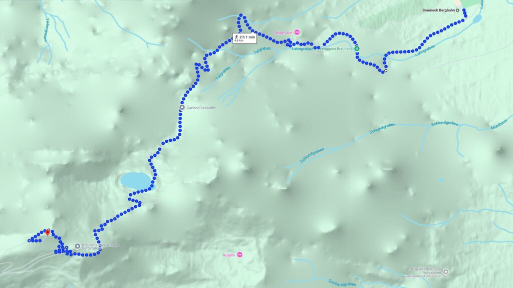
Map 2 shows an alternative for the lower section, where you walk along the Lahngraben. This is the more scenic route, which runs along a farm track at the bottom and is a little more difficult to walk on a narrow footpath from the Reiser Alm.
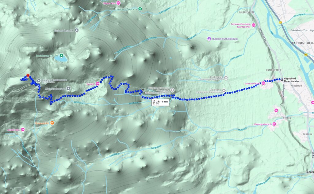
While the first two paths run along the north-eastern flank of the Brauneck, the path in map 3 shows an alternative on the south-eastern flank. I have not yet hiked up there, but it is particularly advantageous in winter, as the flank may be sunny in the morning.
The Brauneck is 1550 m high, the valley station is at 710 m, so you have to overcome 840 metres in altitude on a route of about 4.4 km according to maps 1 and 2. The route on map 3 is approximately 6.9 km, and the starting point can be reached by bus 395 to the Bretonenbrücke stop.
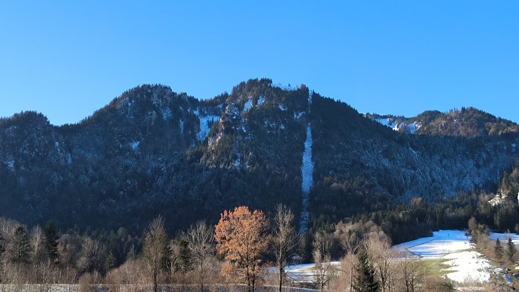
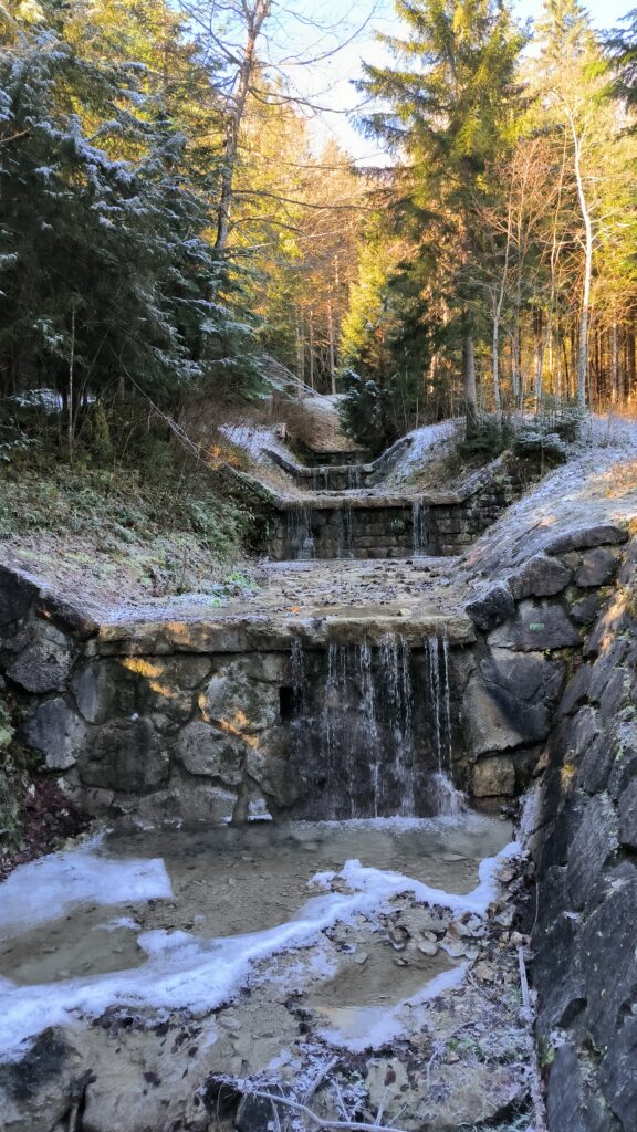
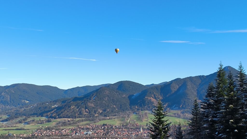
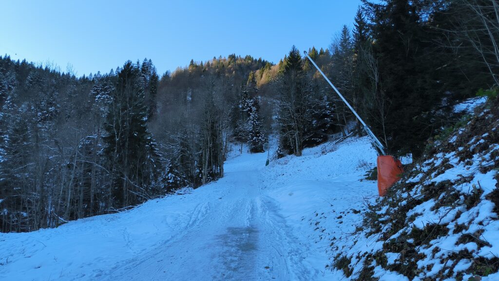
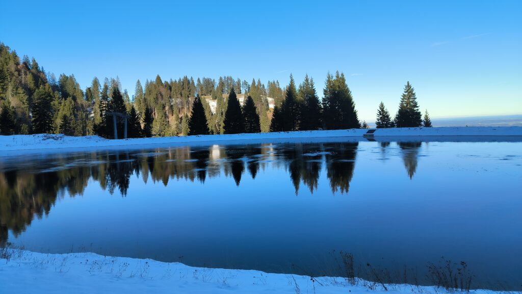
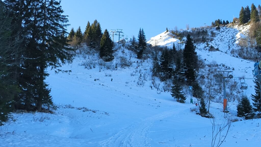
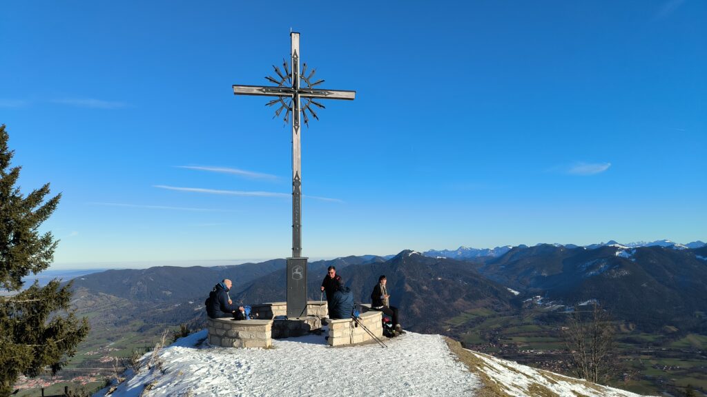
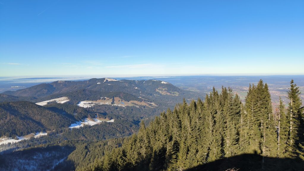
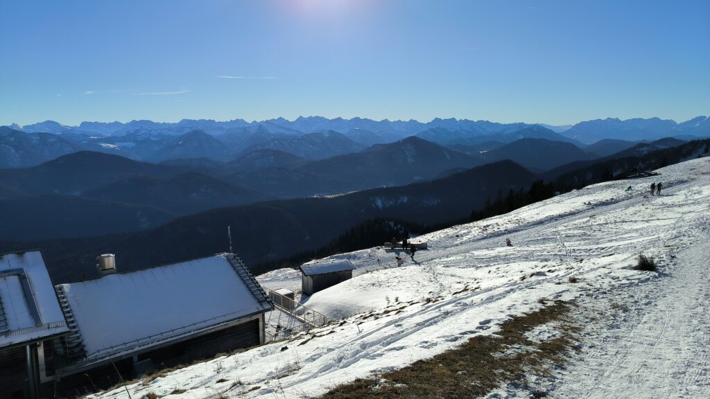
Top left is the north-eastern flank of the Brauneck with the Brauneck cable car in the 1st photo, the 2nd photo shows the Lahngraben. A rather rare sight in the mountains in photo 3, a hot air balloon that landed a short time later. The remaining photos show the sometimes steep ascent on the ski slopes, the reservoir, the serpentine footpath mentioned above and the Brauneck summit cross. Finally, the great view northwards to the Bloomberg and southwards.
Take-offs
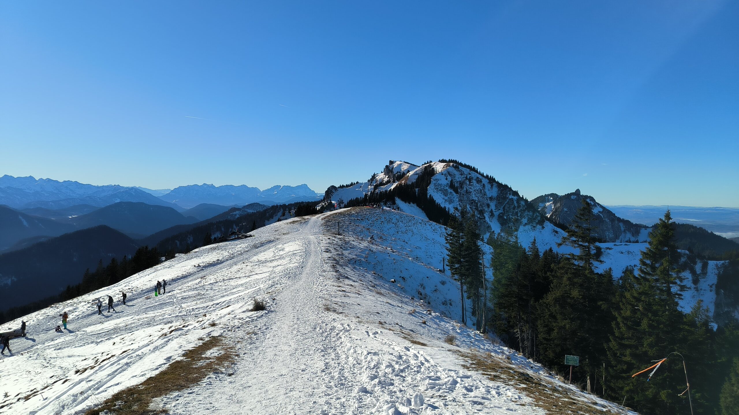
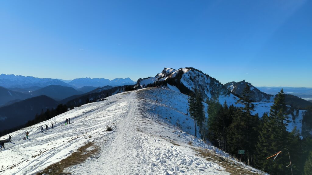
In the photo, you can see the wide take-off to the south on the left and the small take-off to the north on the right. In the centre of the picture, to the left of the Benediktenwand, you had a great view of the Zugspitze that day.
Land zone
The official landing zone is a little to the east of the valley station. The landing zone further north, which is actually intended as an alternative landing zone, is used quite frequently, as it is free-flowing and generally dries out better after rain. There are boards at the landing zones with information on landing arrangements etc.
