Bassano del Grappa, one of the best-known flying areas in the Southern Alps, is primarily renowned for its excellent cross-country flying opportunities. However, there is also plenty on offer here for hike-and-fly enthusiasts. One hike suitable even for those who are less fit is the ascent to Tappetti, which is relatively easy to manage. The Stella Alpina launch site is also located along the way.
Introduction
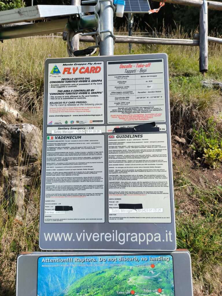
The flying area is situated in north-eastern Italy and, together with Monte Grappa, forms the southern end of the Dolomites. The town of Bassano del Grappa lies to the south-west of the flying area. The flat plain in front of the mountain range stretches all the way to the Adriatic Sea. Thanks to the warm, humid air carried in from the Adriatic, it is possible to fly at least a few kilometres practically all year round. The mountains are heavily forested, offering protection from the summer heat whilst climbing the mountain. The airspace structure in the lowlands is extremely complex and should only be flown in after a thorough study of the airspace. In contrast, the airspace along the mountain range is relatively straightforward. I wrote a post about this some time ago. It is also important to purchase a Flycard to gain access to the flying area. Checks are frequently carried out at the take-off and landing sites to ensure you are in possession of a valid Flycard. The website contains plenty of important information about the take-off and landing sites.
How to get there
From Germany, the easiest way to reach Bassano del Grappa is by car via the Brenner Pass. From the Brenner motorway, take the exit for the SS 47 near Trento. Speaking from my own painful experience, I can only recommend that you observe the speed limits on the SS 47, even though parts of it are very well maintained. If you do get caught, you should read the fine notice carefully, as the driver of the vehicle must be named on it, even if you pay the fine without complaint. Otherwise, you’ll end up with another hefty bill from the friendly Italian authorities.
Other options include traveling by train to Bassano or by plane to Venice. I haven’t tried either of these myself.
Promotion
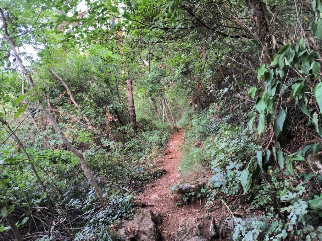
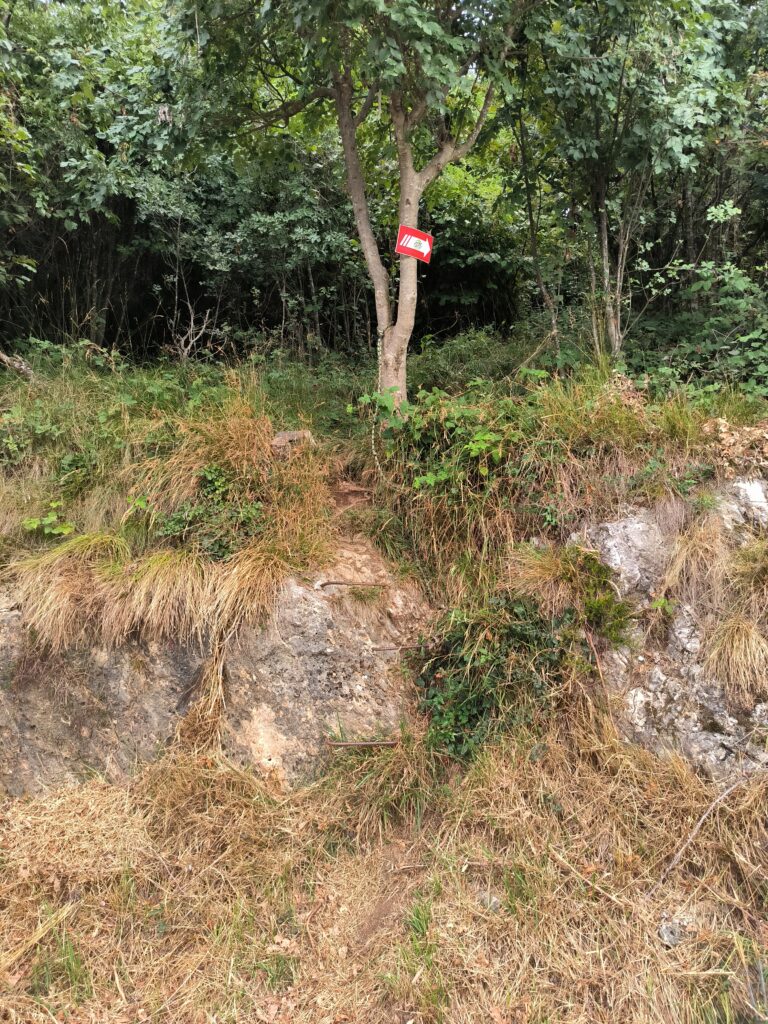
The route to the Stella Alpina and Tappetti starting points consists almost entirely of a narrow footpath, which is easily accessible in normal trainers. The path is well signposted with red and white signs. The gradient is moderate throughout and manageable even for those who are out of fitness. As it is practically entirely wooded, you won’t work up too much of a sweat, even in the summer months.
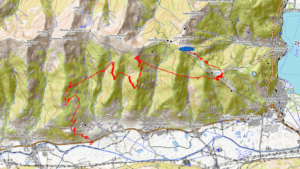
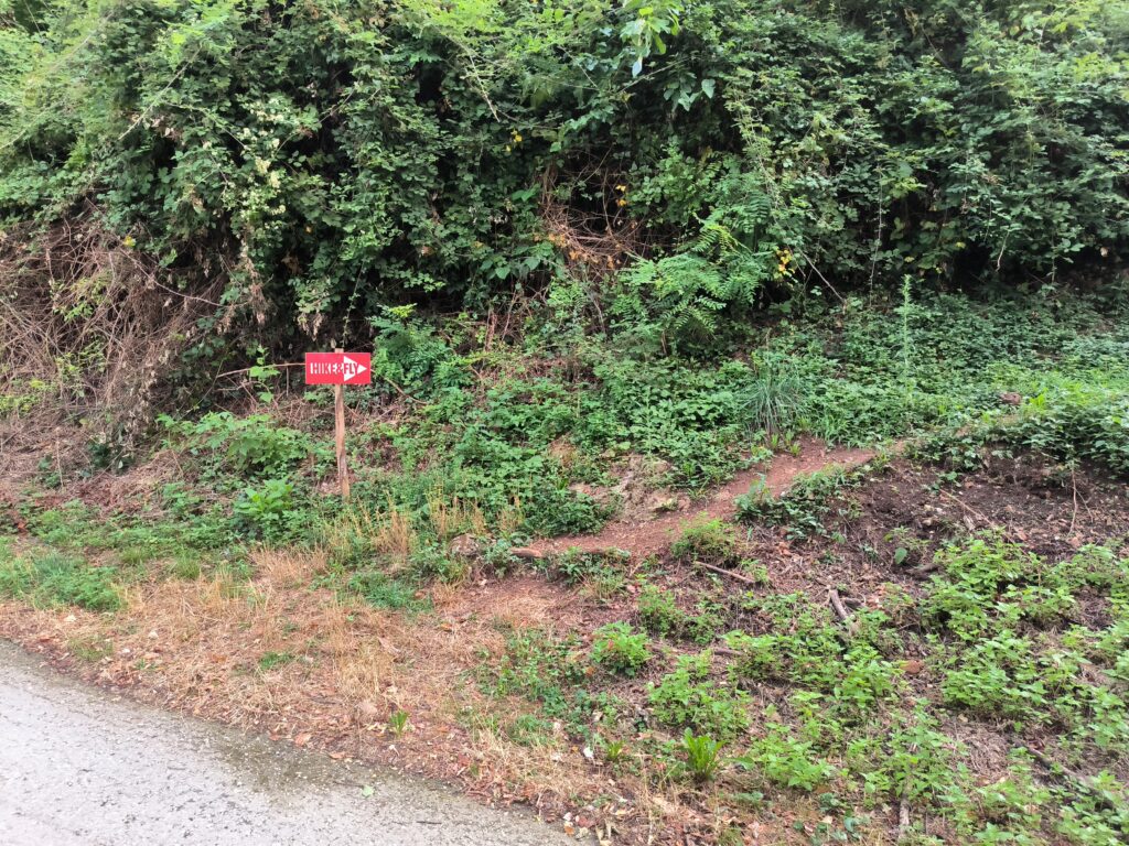
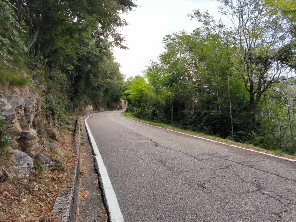
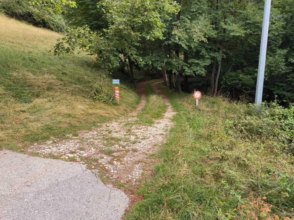
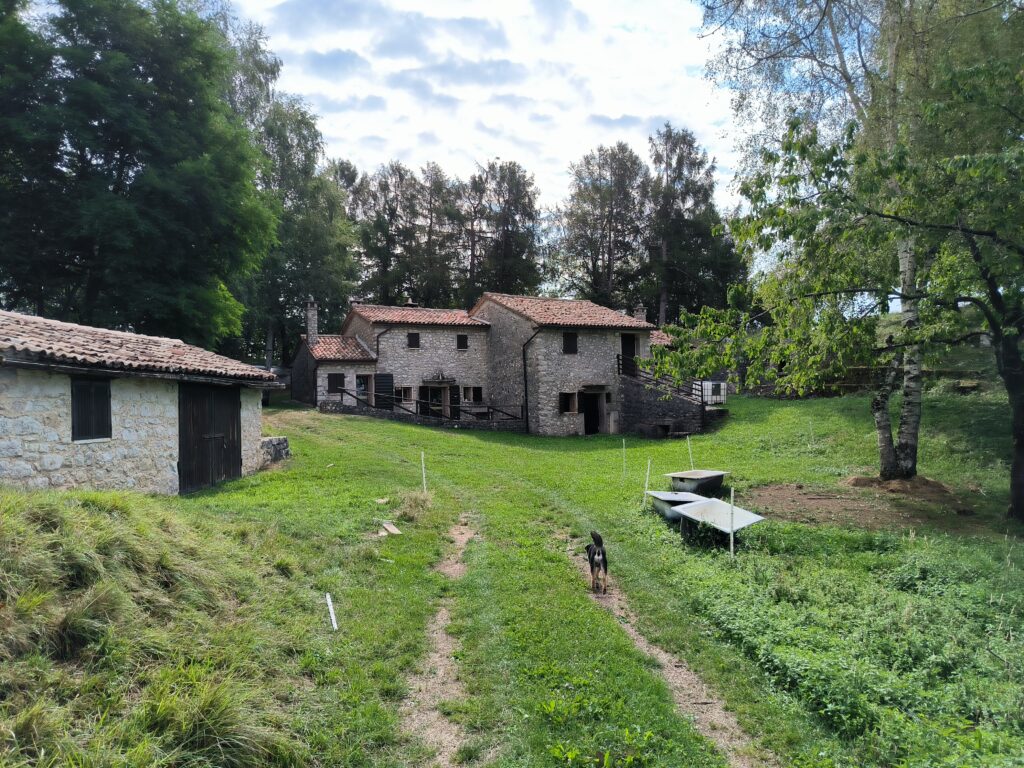
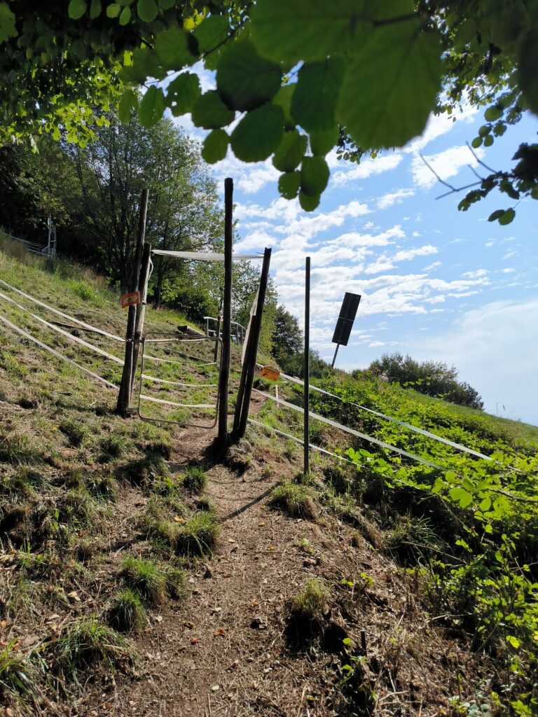
Map 1 below shows the shorter route. The start of the footpath is situated about 100 metres past the well-known Antica Abbazia restaurant on the right-hand side (see photo 1 below). The route is about 3.7 km long and covers an elevation gain of approximately 600 metres. The ascent is moderate throughout and easy to walk (see photo 2). A short via ferrata (see photo 5) takes you directly to the Stella Alpina launch site without having to follow the road. On Map 1, you can see the access point below Point 2. Generally speaking, it is advisable to use the road as little as possible, as Italian motorists are known for being rather inconsiderate (see Photo 4). The ‘Hike-and-Fly’ sign is missing at the final hairpin bend, and don’t be put off by the ‘Strada Privata’ sign – this is the correct route to the launch site (Photo 6).
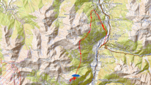
The alternative route shown on Map 2 leads straight to Tapetti and is about 5.2 km long, so it’s flatter in places. I can’t comment on the condition of the path, as the last time I ran there was 10 years ago.
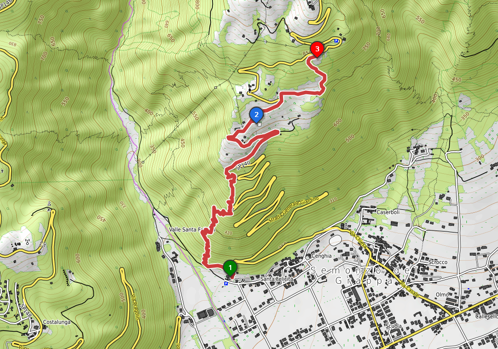
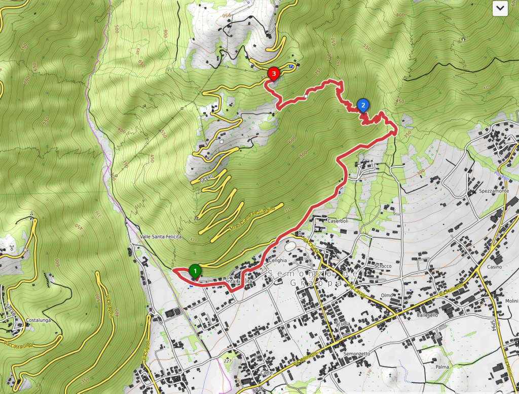
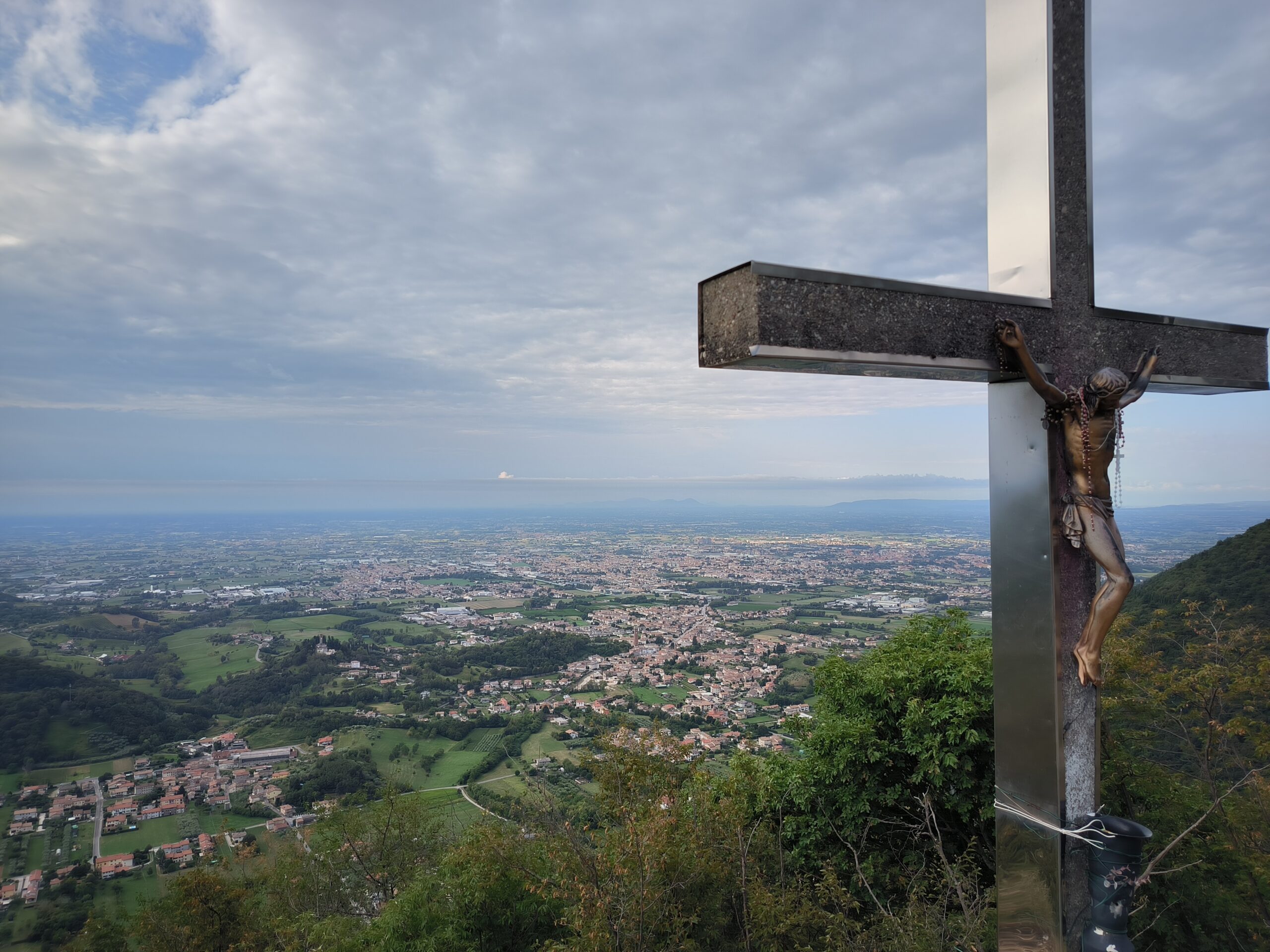
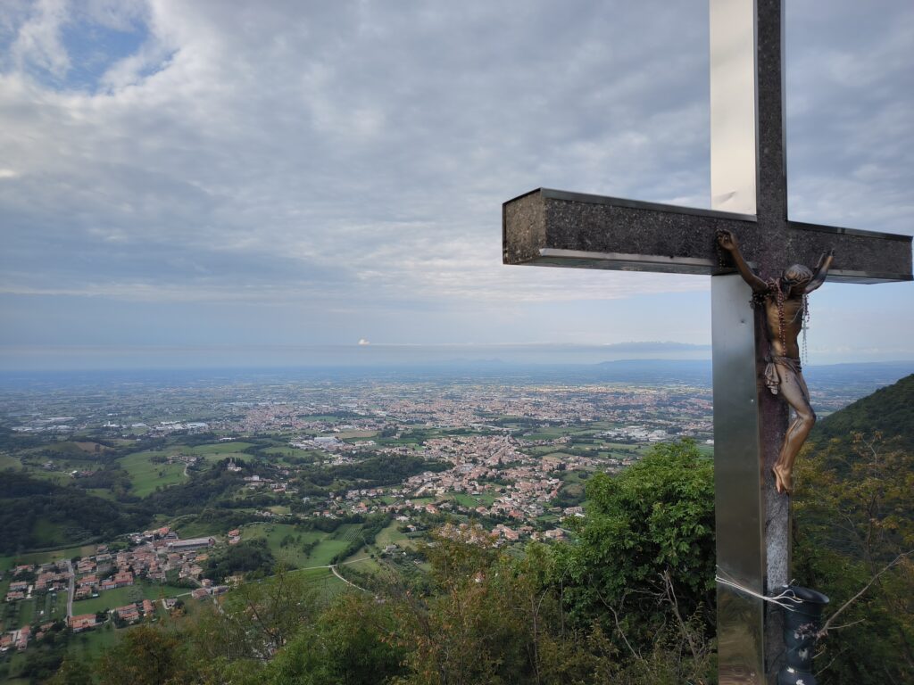
Along the way, you’re rewarded for the effort of the climb with a magnificent view of Bassano del Grappa (Photo 3).
Take-off and landing sites
The Tapetti has been extensively refurbished, with a flat landing area for the paraglider and a slope that is no longer as steep as it used to be. The Stella Alpina is generally flatter and usually less crowded. If you prefer a more relaxed atmosphere, this is the place for you. The take-off and landing areas, and what you need to bear in mind there, are described in detail in this document.
If there’s a westerly wind, the hike can also be extended to the Casette take-off point.