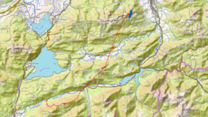
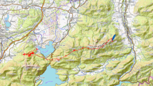
The Wallberg – an ideal mountain for hike and fly beginners, as the ascent is relatively easy. In contrast, this is not necessarily the best location for long XC flights, as the launch sites face north and north-west. Nevertheless, long XC flights have also been made from here if you know where to look for…
Introduction
The flying area is located not far from the Tegernsee, which is famous throughout Germany. As there are not too many flying areas that are located directly on a lake, it is always extraordinary to fly here. Nevertheless, the flying area is less suitable for acro flying as the lake is too far away from the take-off and landing site.
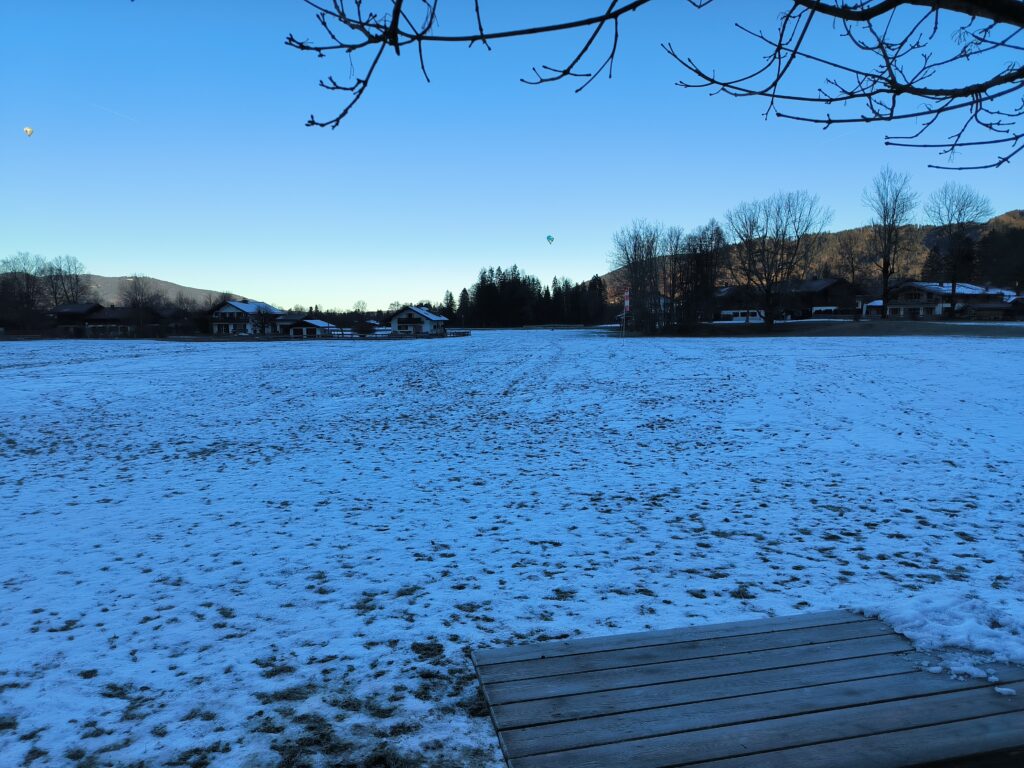
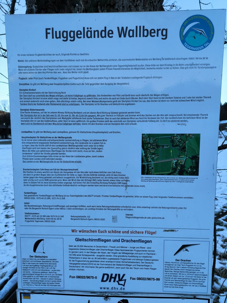
At the landing site you will find detailed instructions on everything you need to know about this flying area. The flying area is very suitable for beginners and the take-off sites are easy if the wind direction is right. The official landing area is huge, but there are also many meadows available for off-field landings. The flying area is run by the Tegernsee Valley Hang Gliding and Paragliding Club. A day membership is compulsory to maintain the flying area.
Approach
Like the Brauneck, the Wallberg is also easily accessible by public transport and by car and is therefore very popular with Munich residents. From Munich main station, take the regional train 57 to Tegernsee, then bus 356 to the Wallberg valley station. The bus passes the Tegernseer Land natural cheese dairy, which is a worthwhile stop if you want to see how cheese is made and buy some cheese.
If you do decide to travel by car (as I did on this day), you can try to get a parking space on the Wallbergstraße. There is a charge for parking at the valley station without using the cable car.
Ascent
The Wallberg is easy to climb, the gradient is almost exclusively moderate, the paths are easy to walk on and mostly wide. Depending on the route, the ascent is 5.9 km to 6.4 km long, with a difference in altitude of around 890 metres. The Wallberg is therefore my tip for every hike and fly beginner or for those who prefer to take it easy.
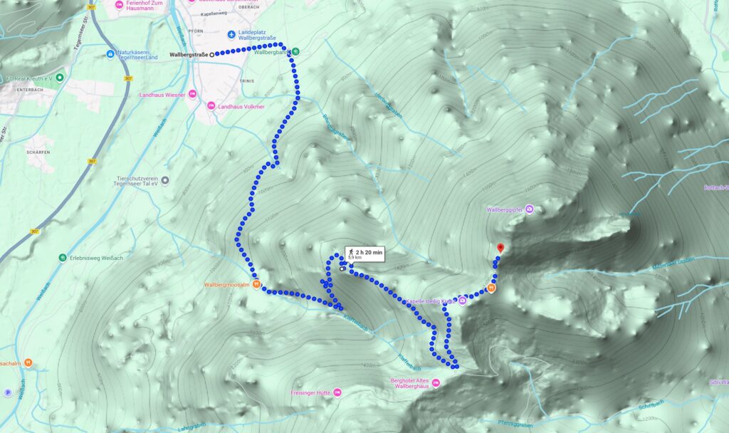
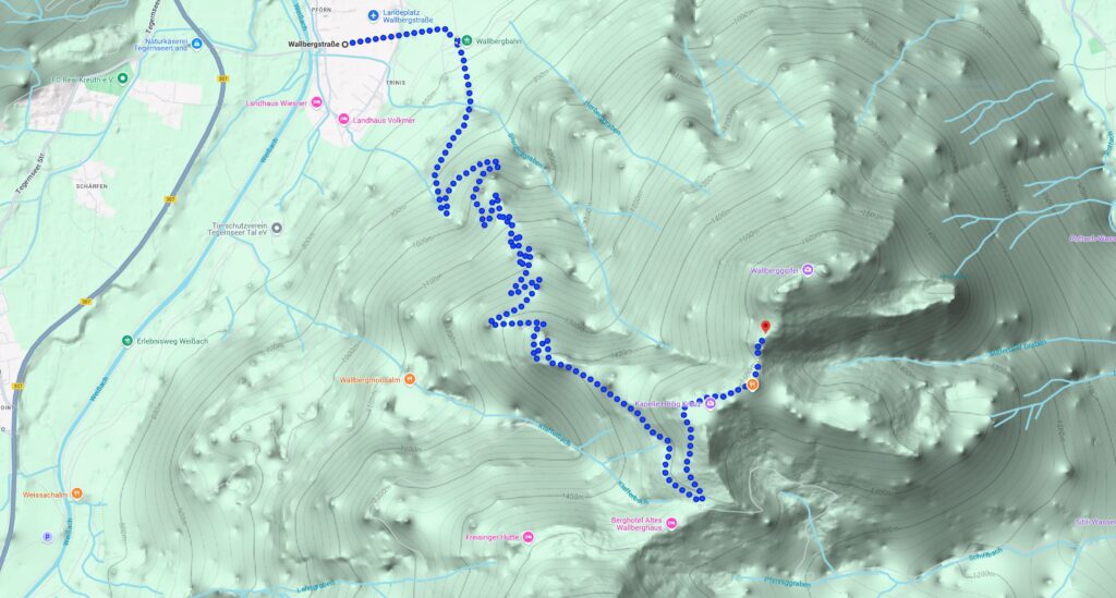
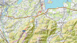
Map 1 shows the somewhat shorter route, which changes into a footpath from the lower third onwards. This path leads past the Wallbergmoosalm, with very good homemade cakes. The path on map 2 is wide throughout, so you can also walk side by side, my favourite way up. Both paths are largely wooded, which has the great advantage that you are protected from the sun in summer and that the path is largely free of snow and ice in winter. The last 10 % of the path is open, so you can expect snow and ice in winter. This is why snow chain are necessary. As the mountain is well frequented by tourists, the snow is quickly trampled down, so snowshoes should not usually be necessary.
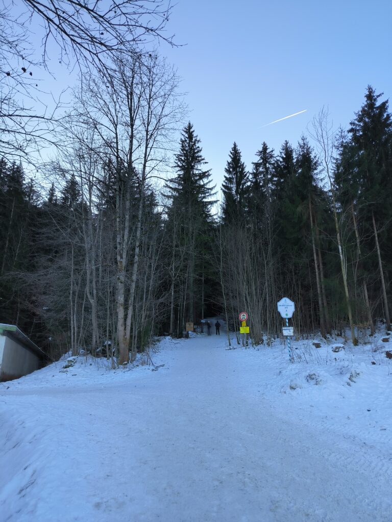
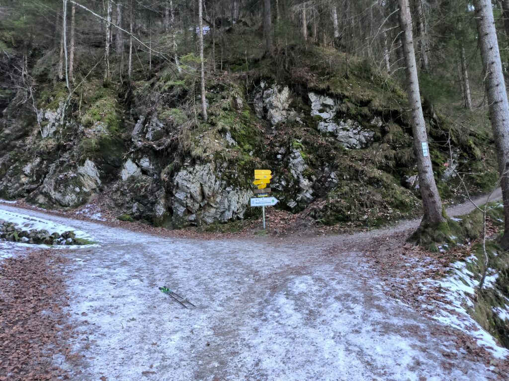
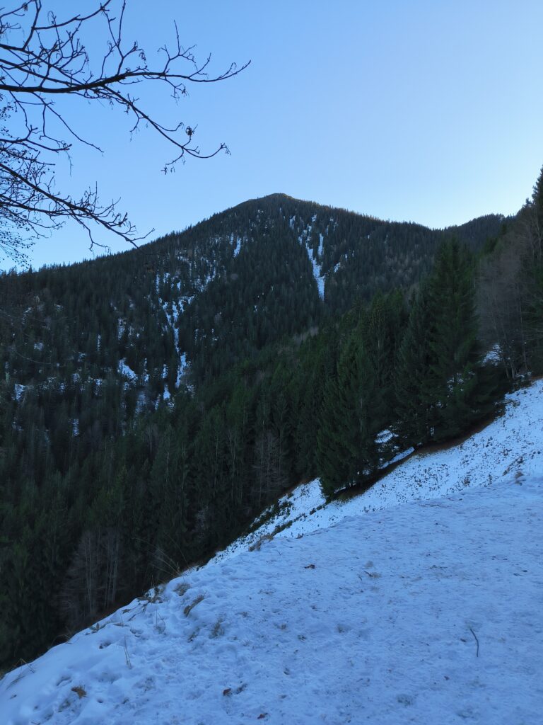
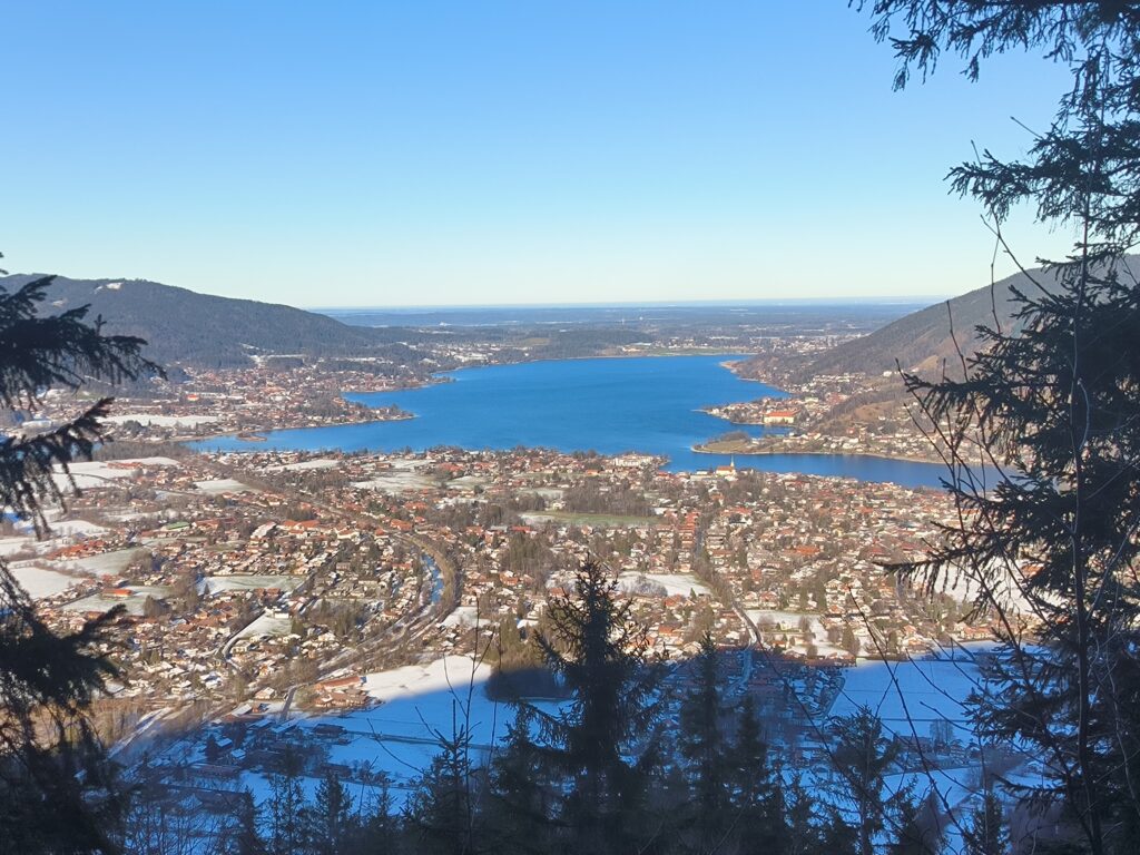
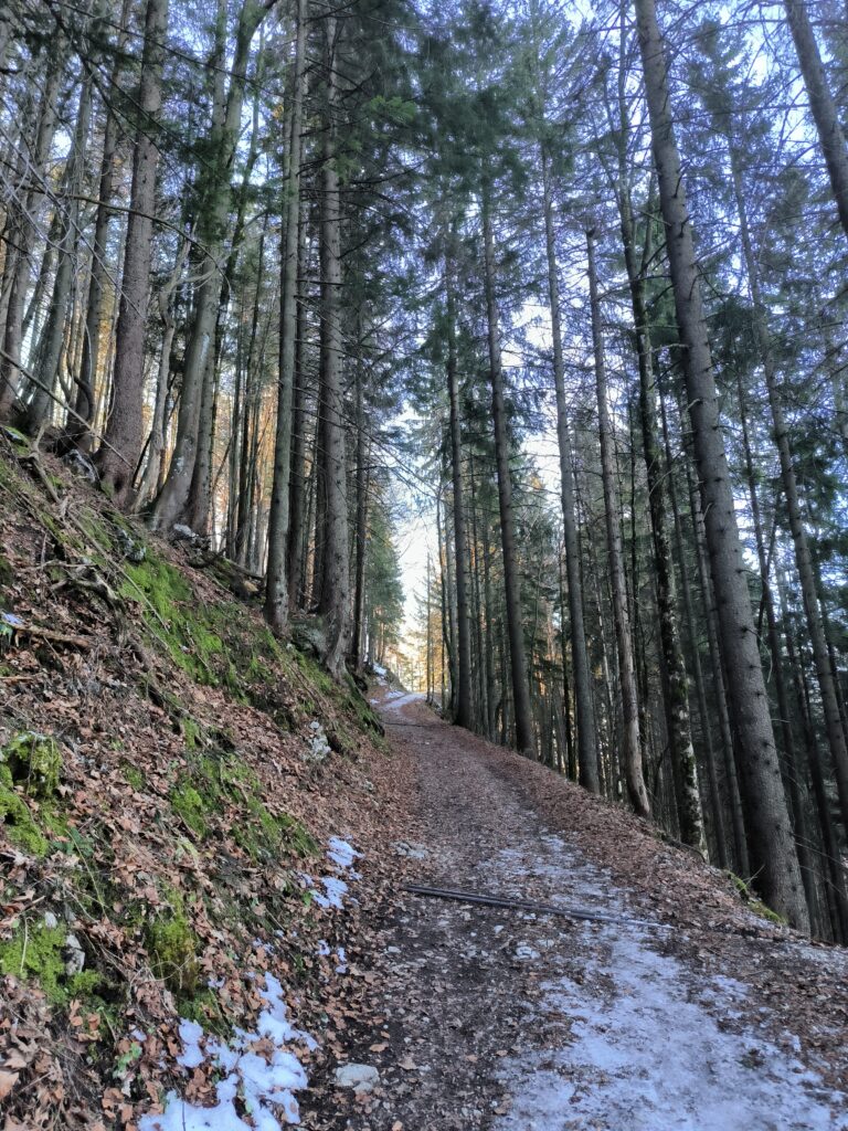
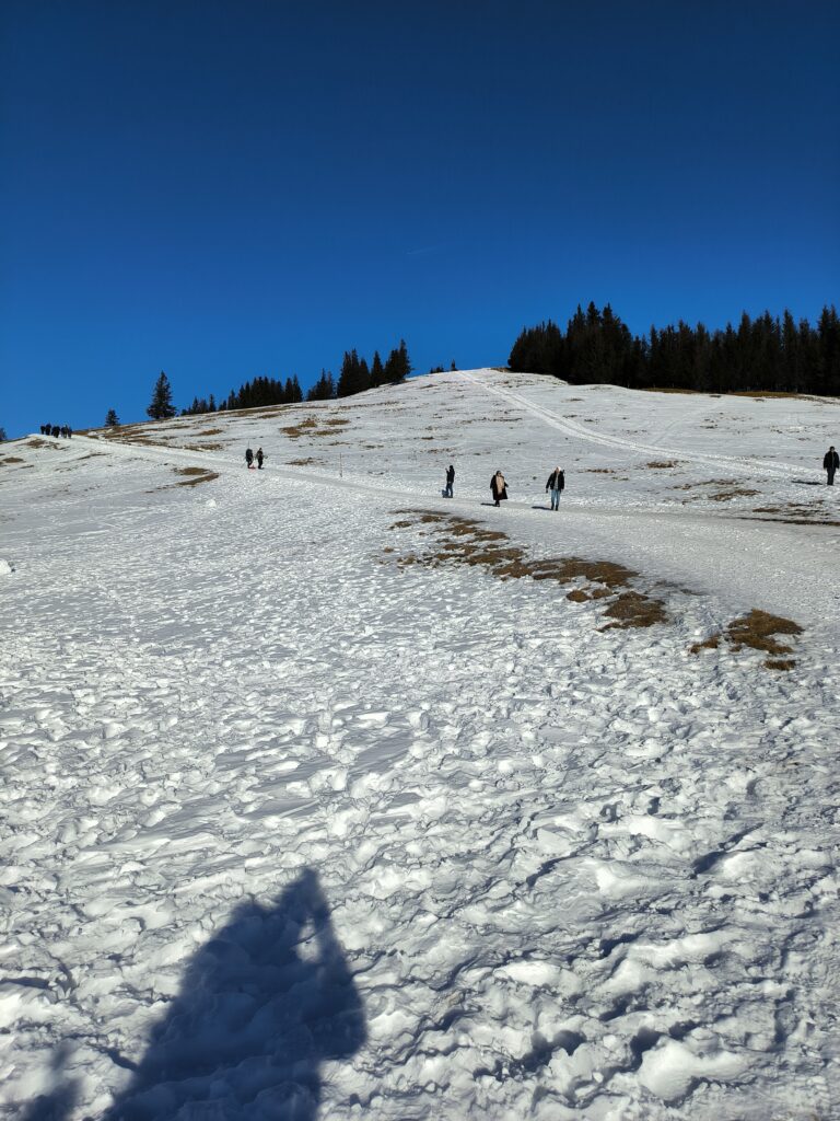
The first photo shows the entrance to the footpath directly at the valley station. The 2nd photo shows the fork in the path, on the left is the passage to the wide path (see map 2) and on the right the passage to the narrow footpath (map 1). The Wallberg in photo 3 with the mountain railway below. The mountain railway does not lead directly to the summit, but ends approx. 100 m below it. The view of Lake Tegernsee on the way up and the wooded path itself is shown in photos 4 and 5. The last section of the footpath in photo 6 is unfortunately quite steep and requires you to mobilise your last bit of strength.
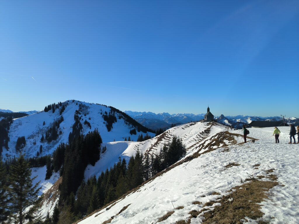
On the Wallberg, the view to the south (last photo), with the church, which probably gave the Kircherl launch site its name. The striking summit of the Buchstein can be seen directly to the right of the church and the Setzberg to the left.
Take-offs
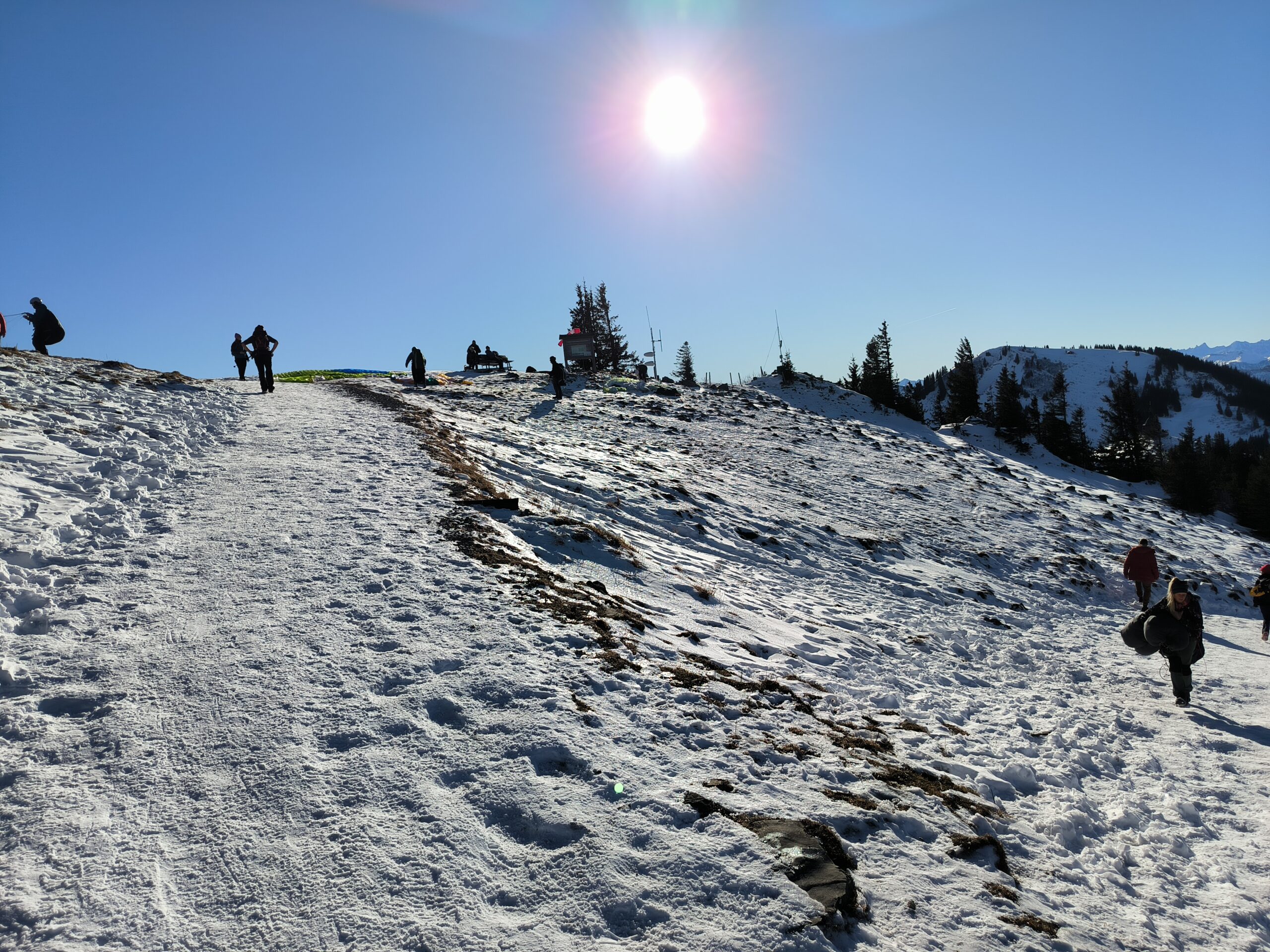
The Kircherl take off faces north and is quite easy to launch from. The Hintermaueralm take off is further up. The take off faces north-west and is partly stony. Take-offs should only be made with sufficient wind so that the footpath below can be flown over safely. In addition, watch out for pedestrians, so this take off is only suitable for beginners to a limited extent.
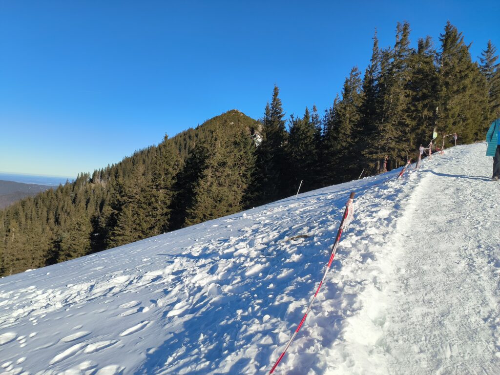
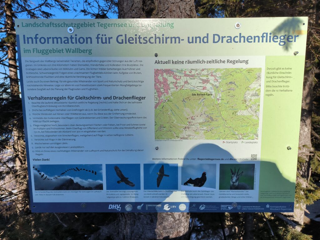
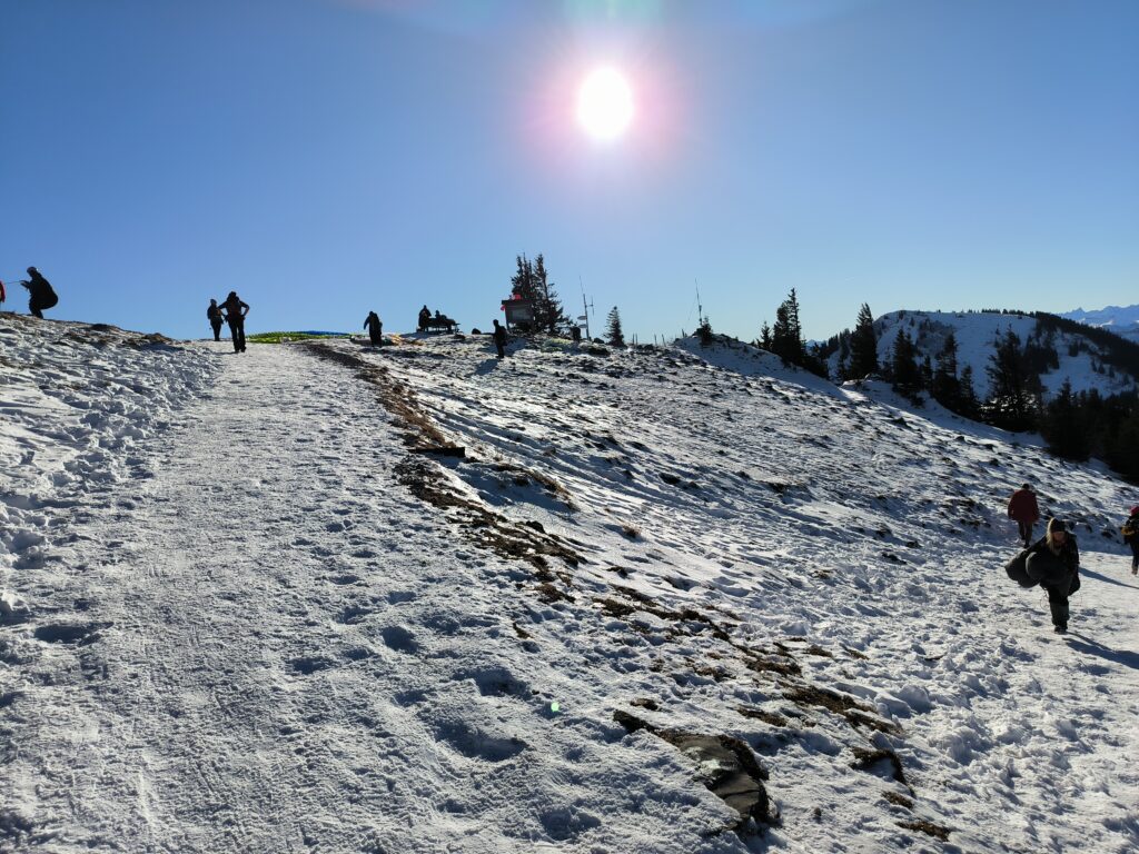
A little above the mountain pasture there is still the possibility to take off in a south-westerly direction, but I have rarely seen anyone take off there. There is a kite ramp on the summit, but I have never seen a launch there.
Landing zone
The landing zone is very spacious and easy to approach from all directions. Just be careful not to fly too close to the public road.
