Autumn time is hike and fly time. Every year, I make plans to try this special form of our sport in autumn. Unfortunately, it often fails due to time constraints or simply laziness. The conditions on this day were ideal for putting the plan into practice. The forecast was for a north-westerly, moderate wind and sunshine. In order to achieve a good training effect, the ascent of the Jägerkamp followed by a start on the Nagelspitze seemed to me to be an ideal mountain for a hike and fly.
Introduction
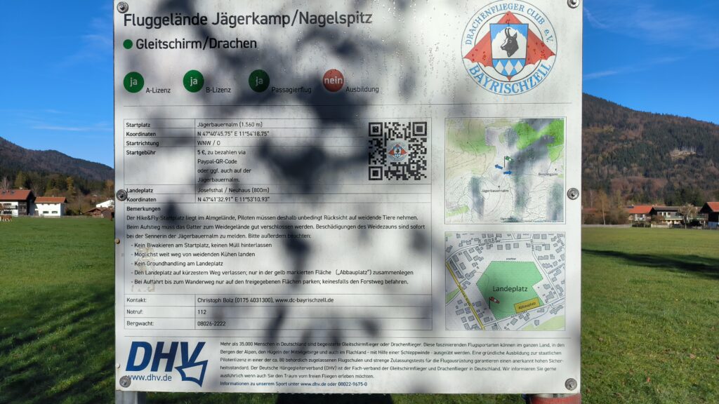
At the landing site there is a detailed board with information about the flying area. Further information can be found in the DHV terrain database. As everywhere, the club, the Drachenfliegerclub Bayrischzell e.V., asks for considerate behaviour towards the local population and property owners.
Approach
I decided to set off from Neuhaus. Neuhaus is quite easy to reach by public transport from Munich. As I prefer to use public transport, I took the regional train 55 from Munich main station to Schliersee station. After a short wait, I took the 362 bus to the Aurachstraße bus stop at the Spitzingsee junction.
Ascent
The ascent is quite pleasant, as there are only a few passages that are relatively steep. To maximise the training effect, I decided to climb the Jägerkamp and then start on the Nagelspitze. Neuhaus is at an altitude of approx. 780 metres, the Jägerkamp mountain peak at approx. 1720 metres. You have to descend again to the Nagelspitze at 1490 metres. If you decide to take the same route as me, you have a distance of 8 km to Jägerkamp with a difference in altitude of 940 m. Most of the route is quite easy, with a moderate gradient. The lower part up to the Spitzingsattel is partly on a forest track, partly on a well-maintained path.
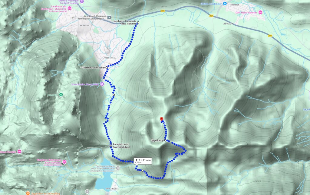
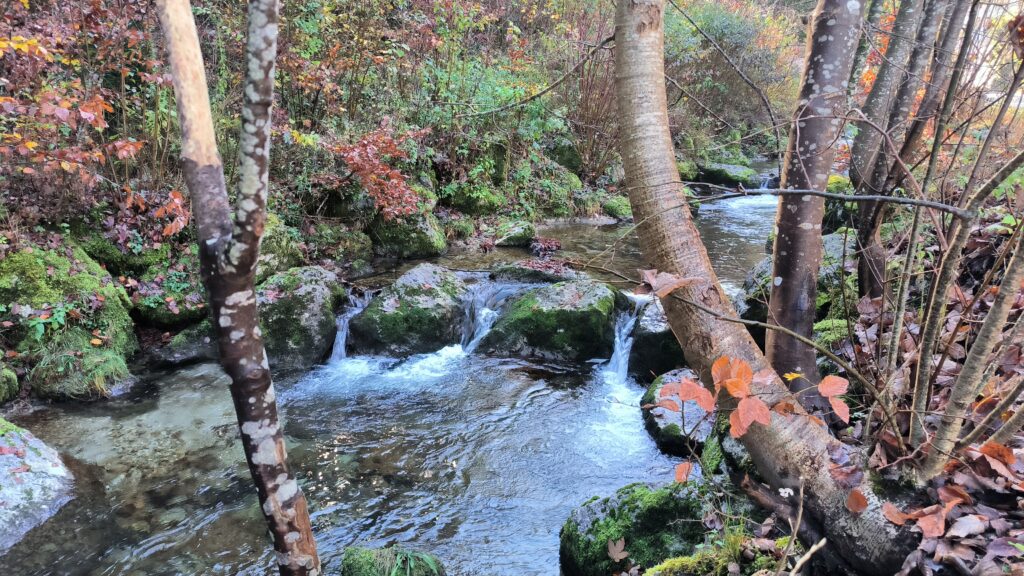
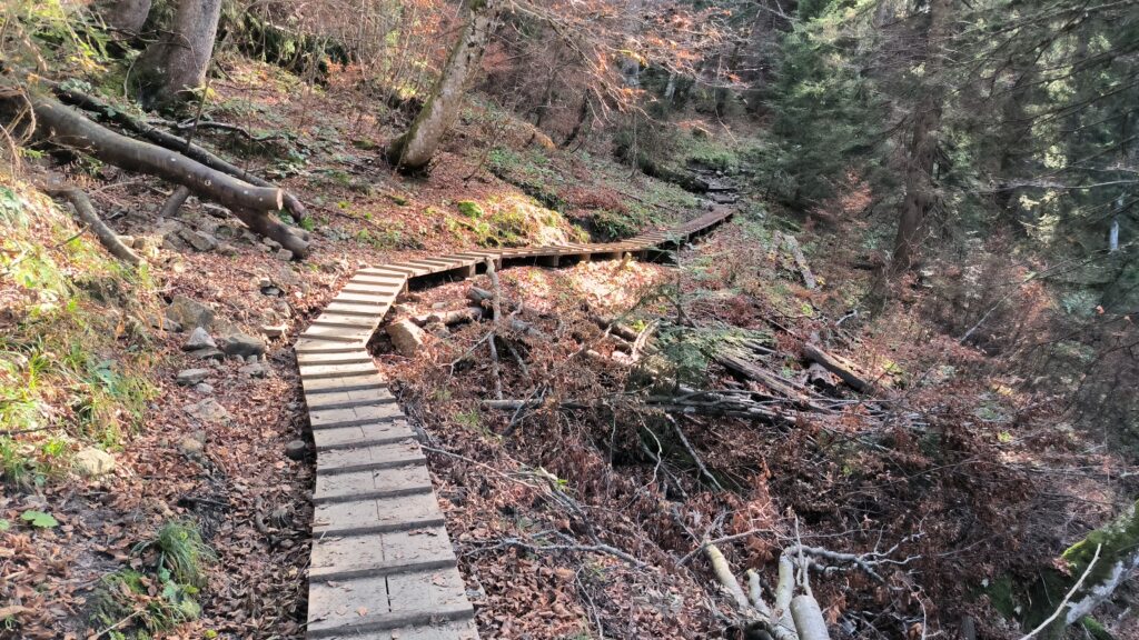
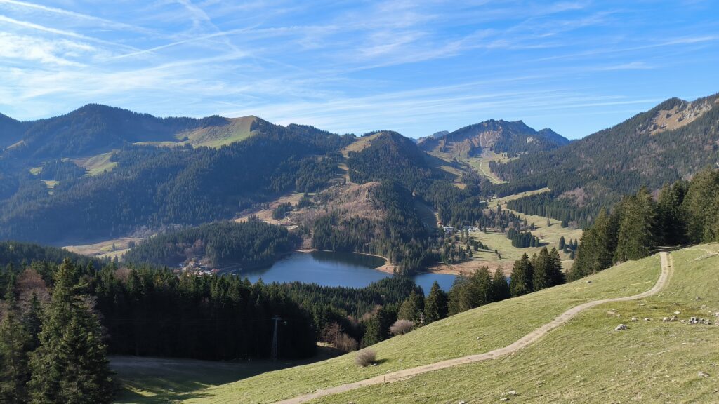
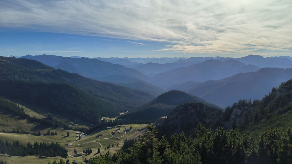
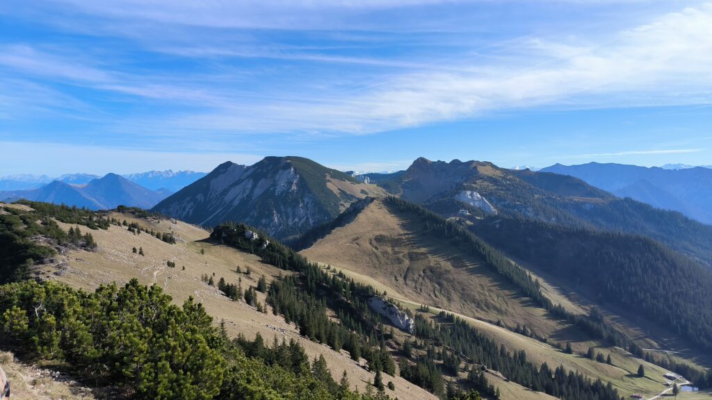
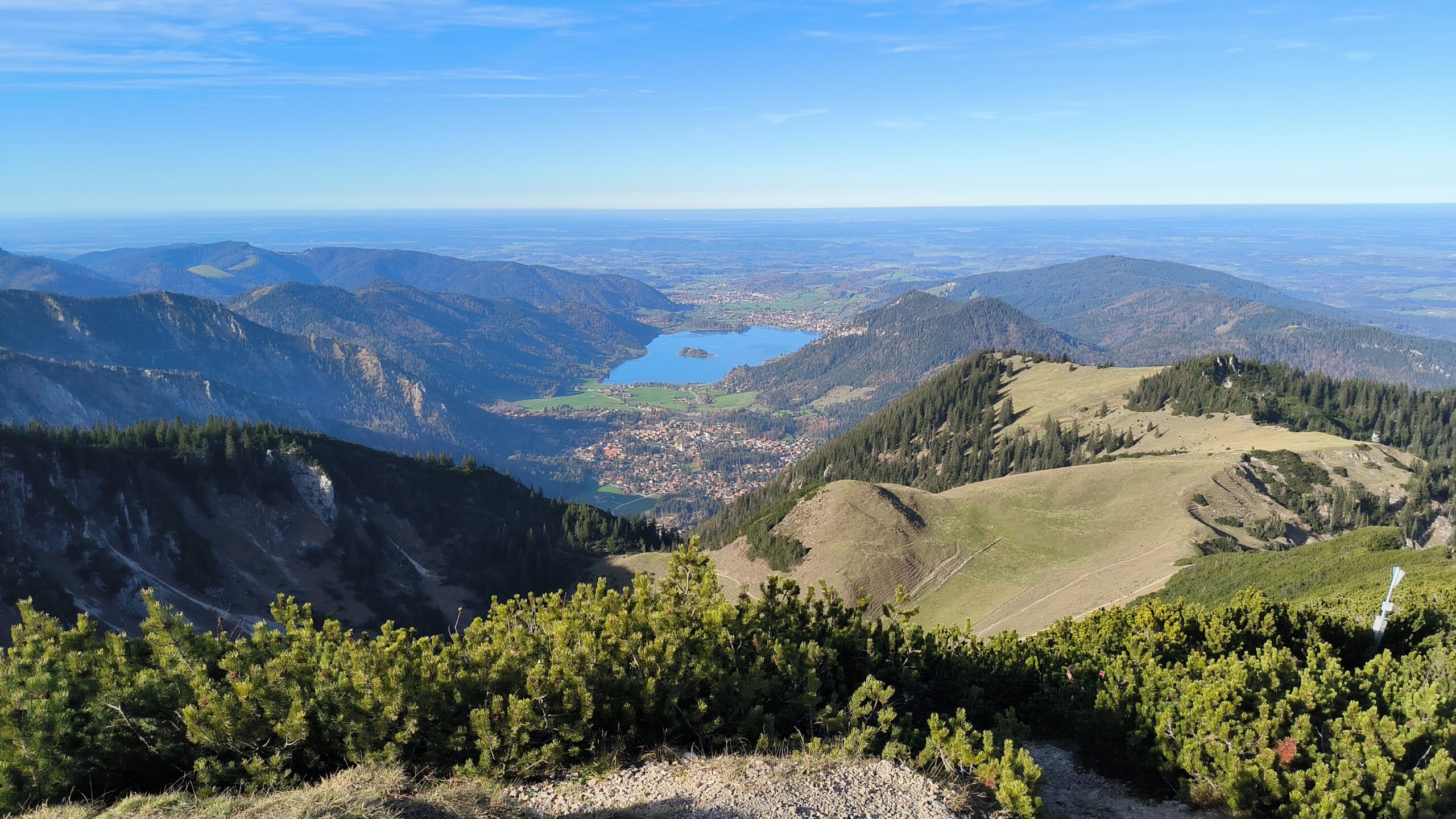
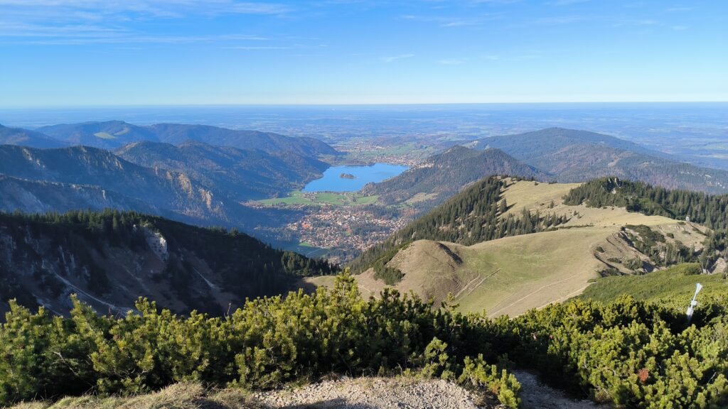
From the Spitzingsattel it is not quite so comfortable, as the path runs partly through a forest that is quite uneven. You should be sure-footed. As you can see in the second photo, a footbridge has been built for passages that run over boggy ground. Your efforts are rewarded with a view of Spitzingsee, see third photo. The last part to Jägerkamp is quite steep, but can also be done with a paraglider on your back without special climbing equipment. Once you reach the top of the Jägerkamp, you have a magnificent view over the Alps.
Of course, you can also walk directly from Neuhaus up to the Nagelspitz, in which case there is only a 750 m difference in altitude to overcome over a distance of 4 km. However, I have not yet walked this route and therefore cannot report on it.
Start
The launch site is simply a dream for everyone and could hardly be simpler. The wide meadow faces north-west, is flat at the top and then falls away more steeply. The perfect launch site for the perfect launch, especially as the wind was also blowing perfectly from the north-west.
Flight
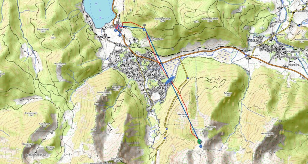
The flight was short but intense. Like after every hike, a flight feels much more intense afterwards, seems to be some kind of psychological effect. Immediately after take-off, I noticed thermal bubbles, but I wasn’t able to make use of them. As the western flank of the Hirschgröhrkopf was lit up by the evening sun, I speculated on possible thermals at this point.
Landing
This turned out to be a fallacy, so I had to land south of Fischhausen near the Schliersee.
Journey home
I hitchhiked to Schliersee station and, as is so often the case, the traffic jams caused by day trippers meant that the car journey was correspondingly long. It was a quick train journey back to Munich.
